Water hike around Rankweil
Interesting round trip, where the topic of water and its use become the centre of attention for a while.
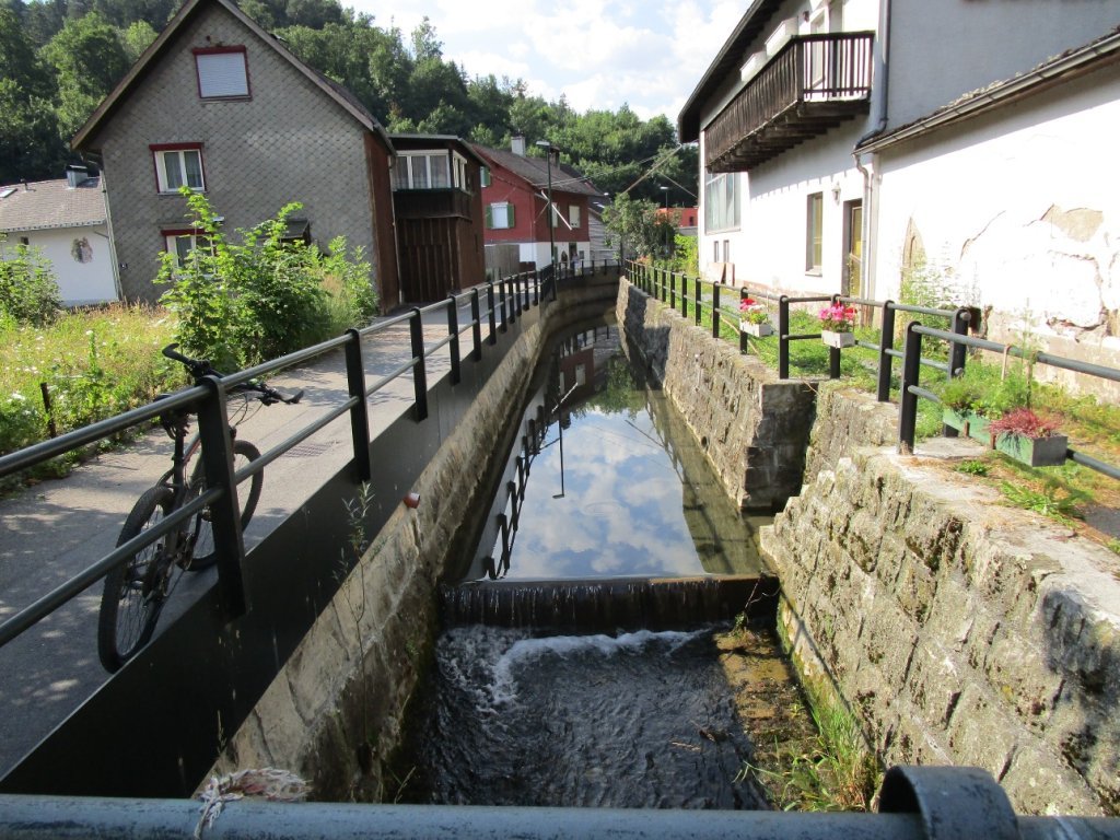
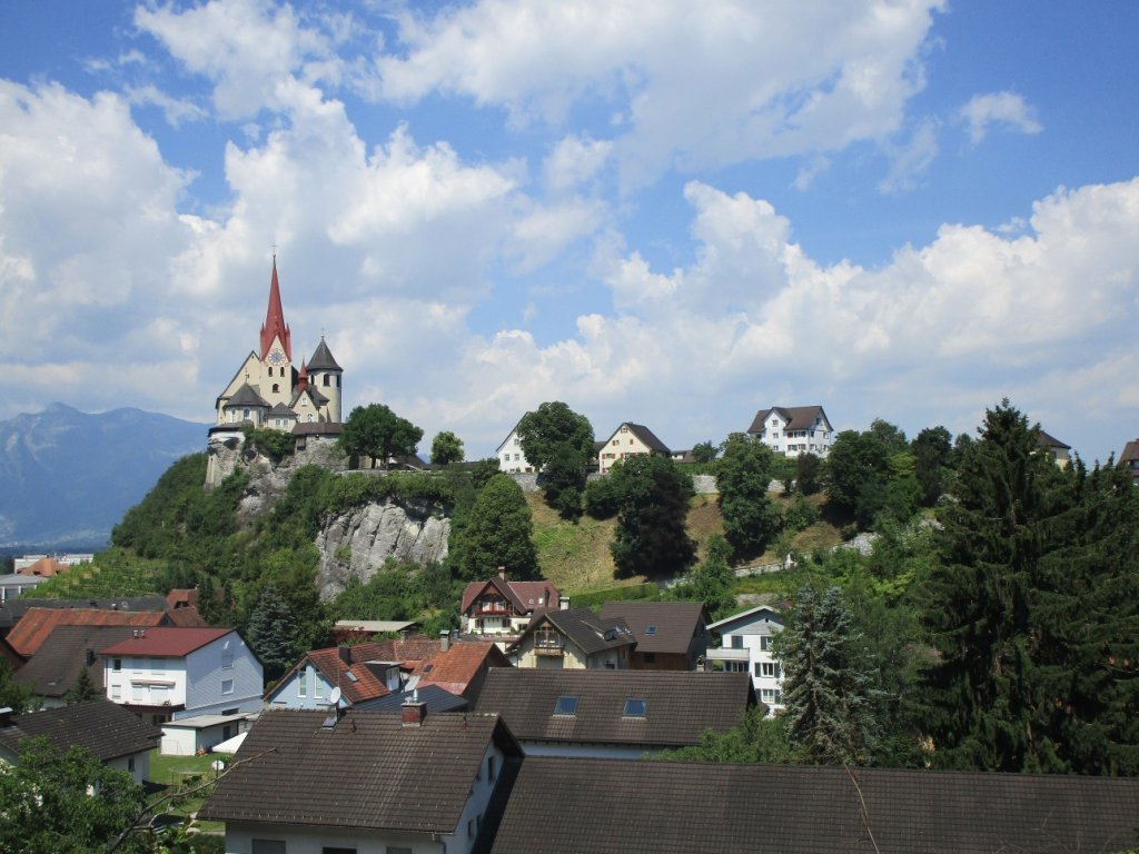
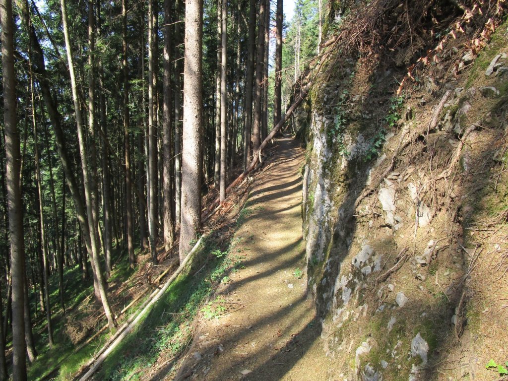
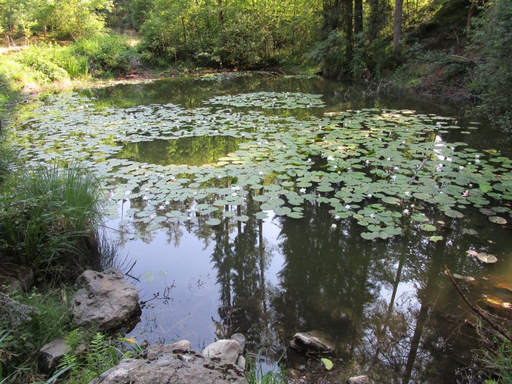
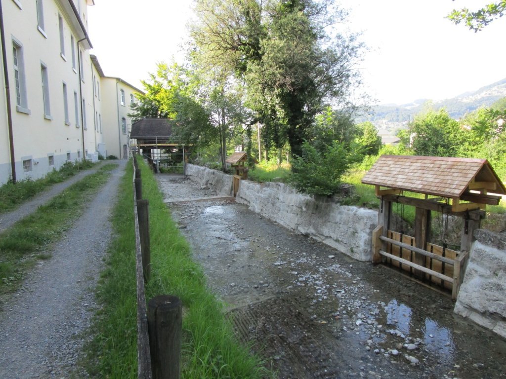
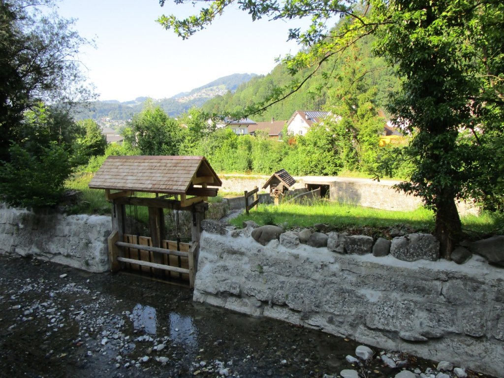
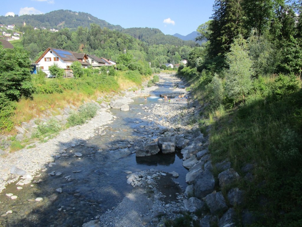
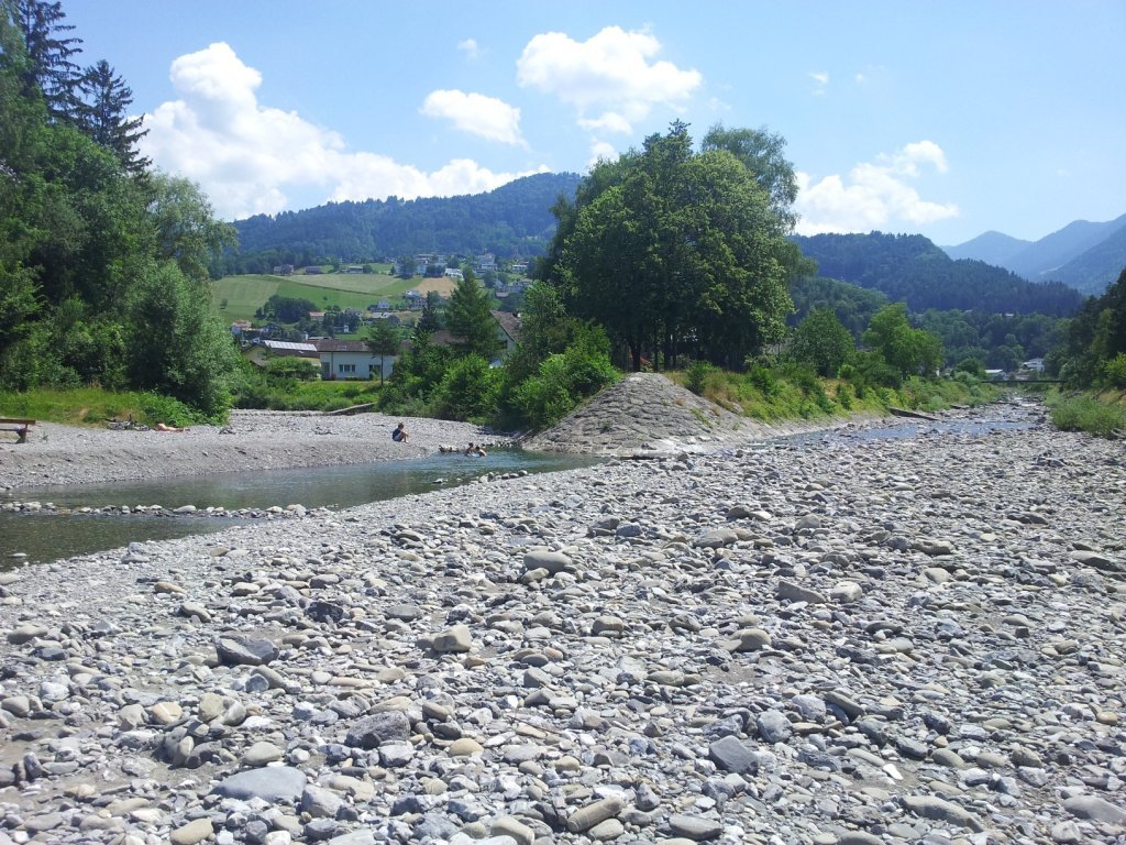
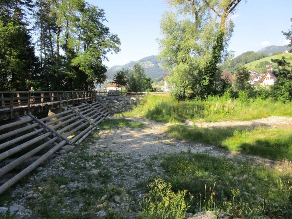
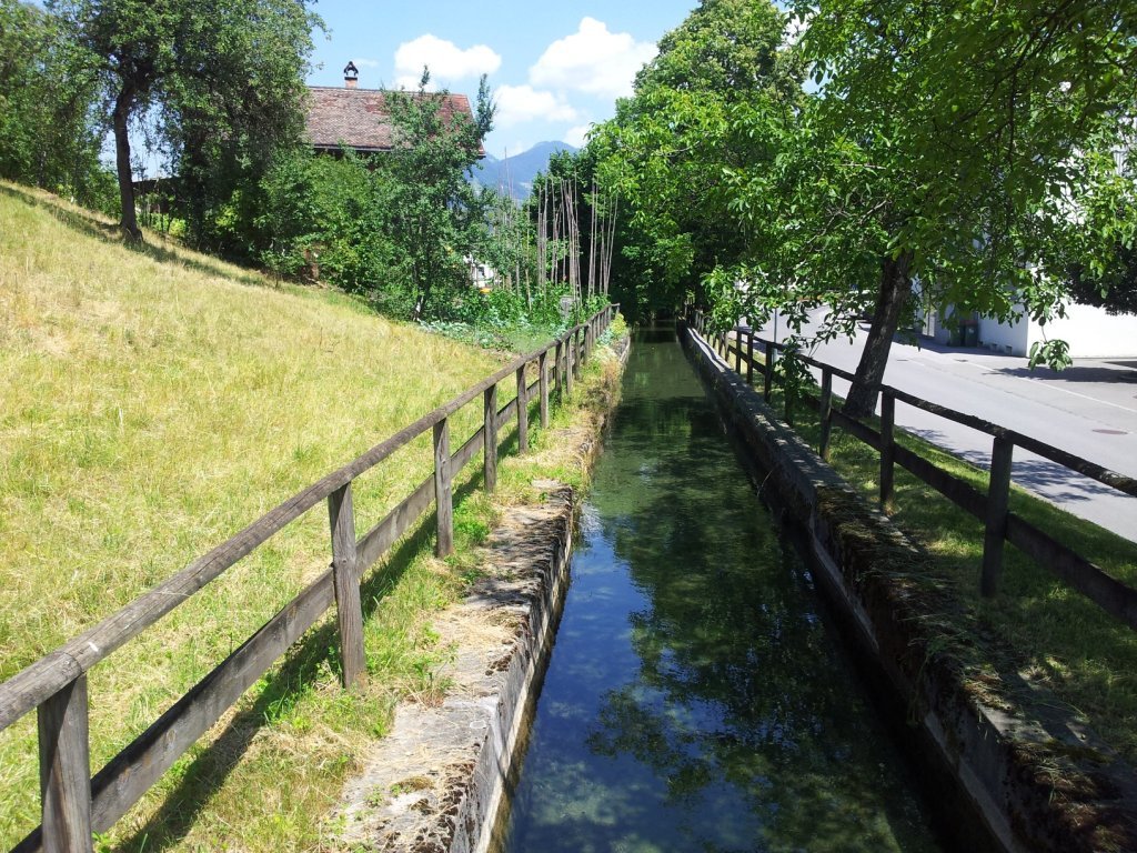
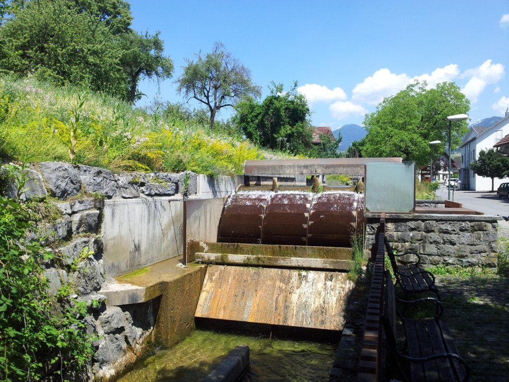
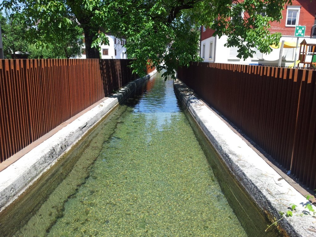
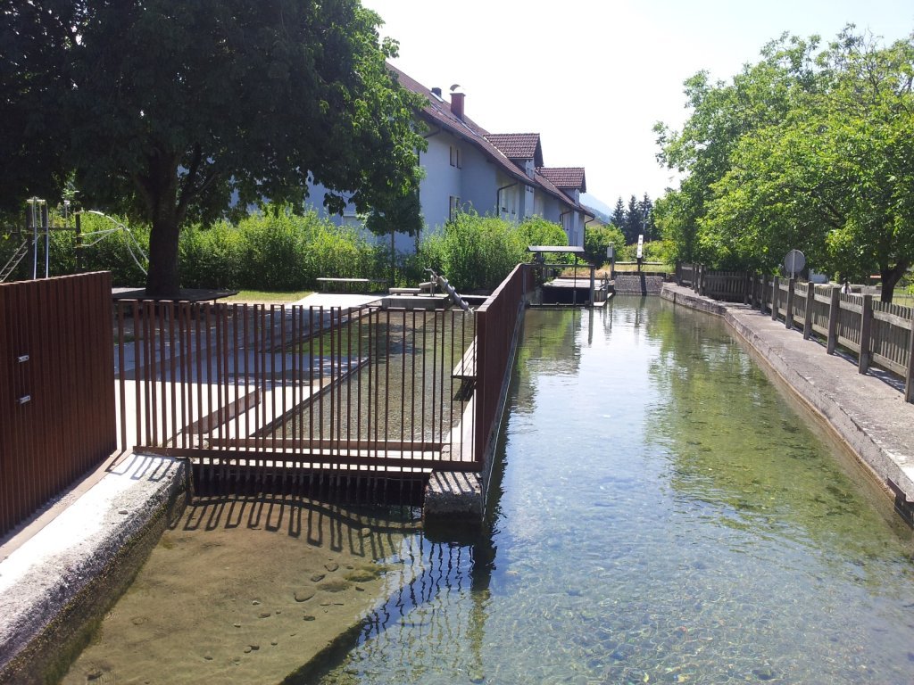
The use of water has a long history in Rankweil. From drinking water to the rafting of timber on the Frutz to using the energy of the Mühlbach millstream and having fun barbecuing and swimming in the Frutz. The route leads across Pfarrschrofen to Lake Egelsee. This small habitat with its beautifully blossoming water lilies in the middle of the forest is also home to amphibians and dragonflies. But unfortunately someone released goldfish here that now pose a serious threat to the protected amphibians.The route then continues back down to the Frutz and runs parallel to the road for a short while. It crosses the parking lot in the business park before reaching the partly beautifully restored and well preserved drifting grounds. Information boards provide information about the old tradition of drifting along the drift route to the wood yard. The route continues along the left side of the Frutz, mostly through alluvial forests that have been preserved. People seek out the clean waters of the Frutz to take a cool dip on hot summer days. The route turns left from the railway bridge and continues through the village and crosses the St. Peter Bühel to the Mühlbach (millstream) and its previous uses (water power, wash house) and back to the starting point.
Directions
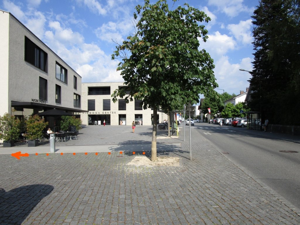
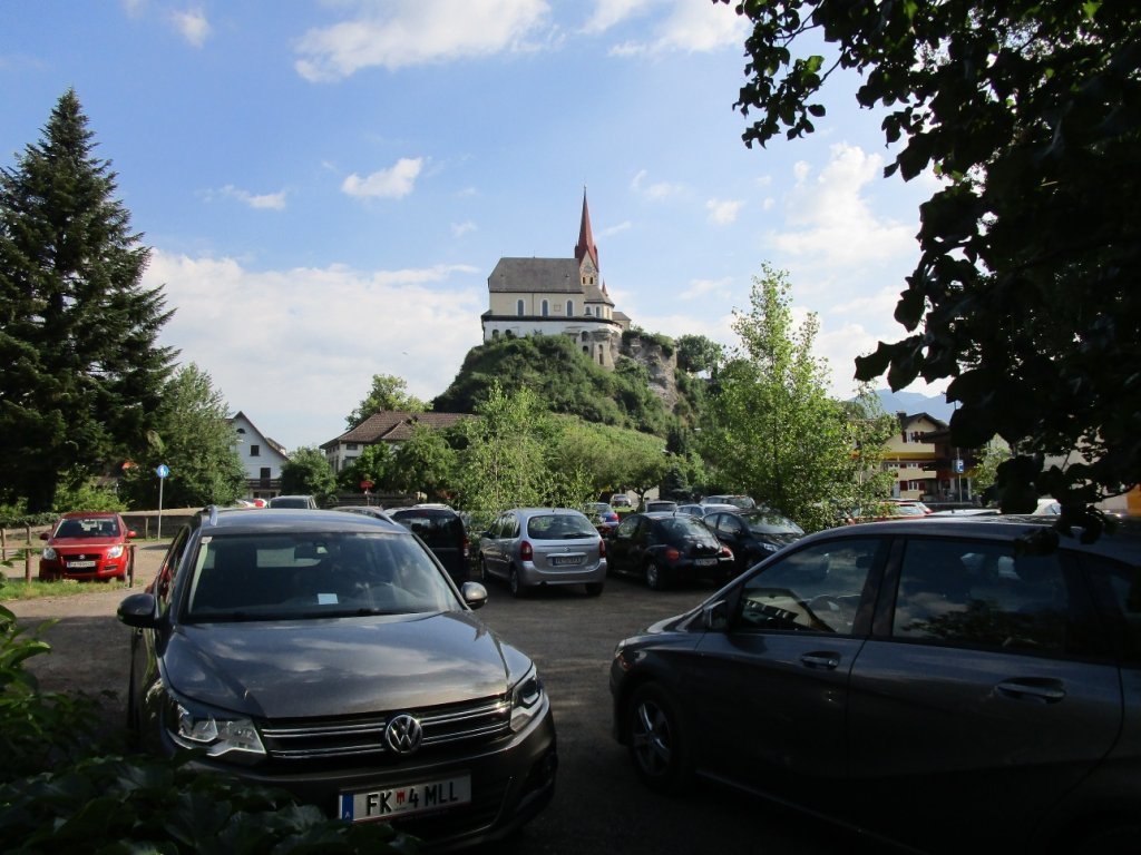
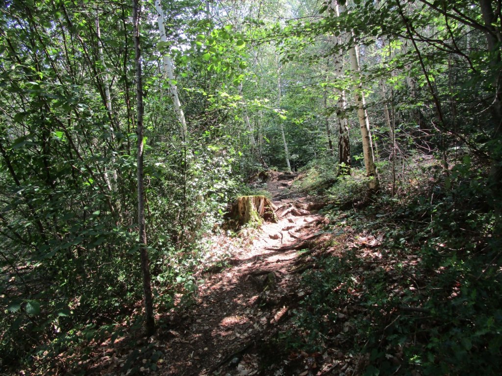
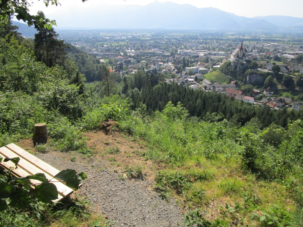
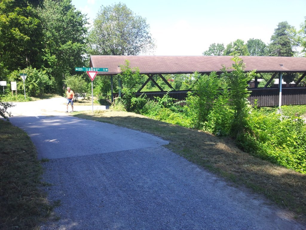
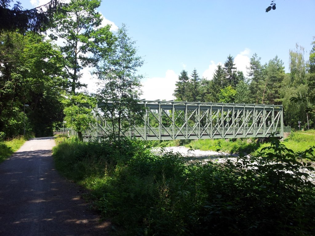
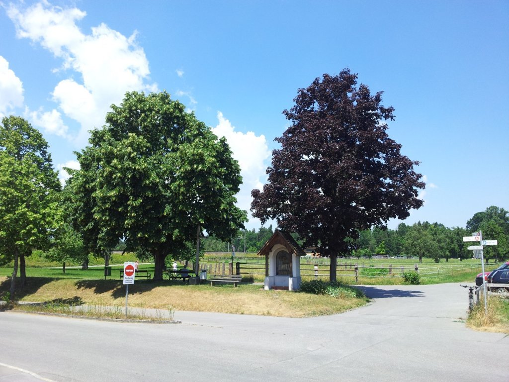
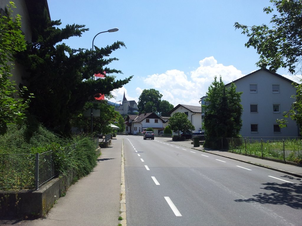
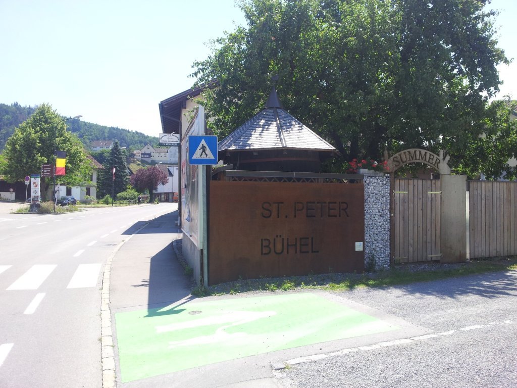
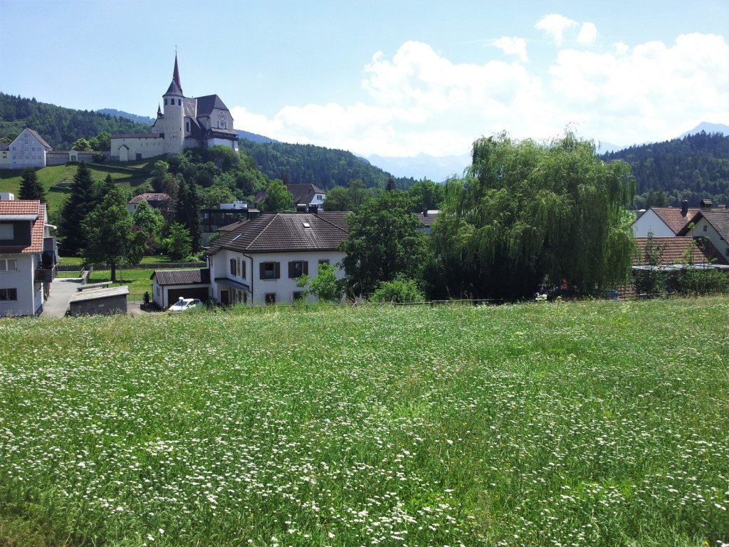
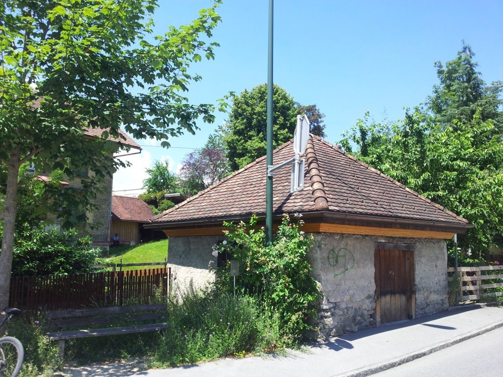
The route starts at the Rankweil-Marktplatz bus stop and continues across Marktplatz past the parish church of St. Peter to Gasthof Sternbräu. It then briefly follows the Nafla (stream) before it takes a left into the street towards Pfarrschrofen. The signposts lead to the Pfarrschrofen vantage point from where the route continues towards the Gastrawand viewpoint until the next signpost but one points the way to Lake Egelsee. The route descends from Lake Egelsee towards the business park, then follows alongside the Übersaxnerstraße for a good 100 metres until a narrow path branches off to the right into the forest that leads to the business park’s parking lot. It crosses the road here and follows the sign ‘Triftweg’ (rafting route) across the rafting yard on the left side of the Frutz to the wood yard. After a short left-right bend, it continues through the alluvial forest staying with the Frutz, past the cycle bridge to the old railway bridge. It takes a left here before it reaches the railway line, past a riding stable to the wayside shrine on the road. It then leaves the signed hiking trail and takes a left and an immediate right again along the ‘In der Schaufel’ street towards the centre of the village. It turns right after 800 metres, passes two roundabouts to ‘Sümmerle’s Schenke’, before it takes a right on to St. Peters Bühel with beautiful view of the Liebfrauenkirche and the village. It then keeps left, descends the paved stairs to the millstream and follows the millstream past the power station in the bend, the old wash house and takes a left at the next weir left across the millstream directly to Marktplatz.
Best season
Equipment
Standard hiking gear.Don’t forget your sun screen and headgear when it’s sunny because the part of the route that leads through the village doesn’t offer much shade.
Safety information
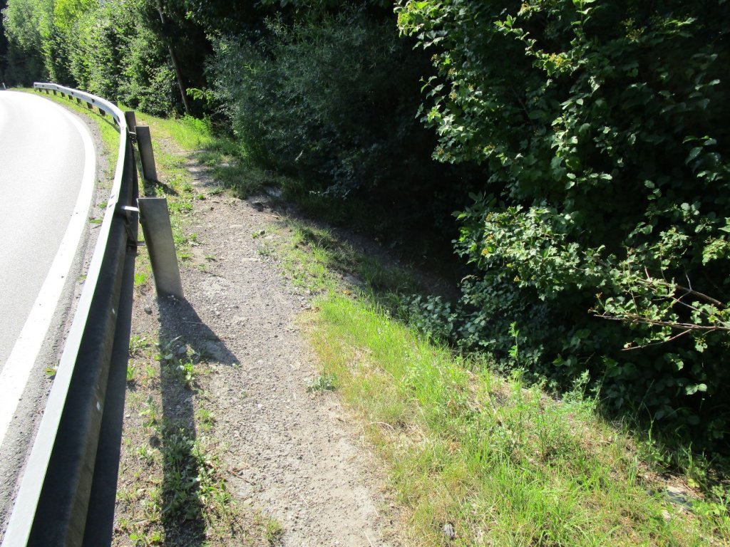
The route is very well signposted. Only the section from the wayside shrine at the railway underpass through the village to the St. Peter Bühel is not signposted. Please follow the directions.
Public transport
Take the train to Rankweil, then towards Bahnhofstraße (300m) to the Marktplatz.https://www.vmobil.at/
